
Ride with the map
The map is useful full screen when you stop. It is more useful small, on top of the dashboard, while you ride.
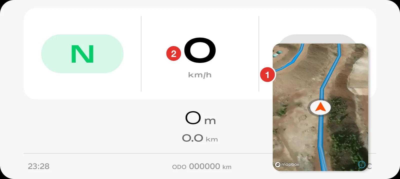
- The map, in a window on top of everything else.
- The Stark app, still running underneath. Speed, power mode and warnings all behave normally.
This is Picture in Picture, a standard Android feature. You do not have to change any Stark setting to use it.
Put the map on the dashboard
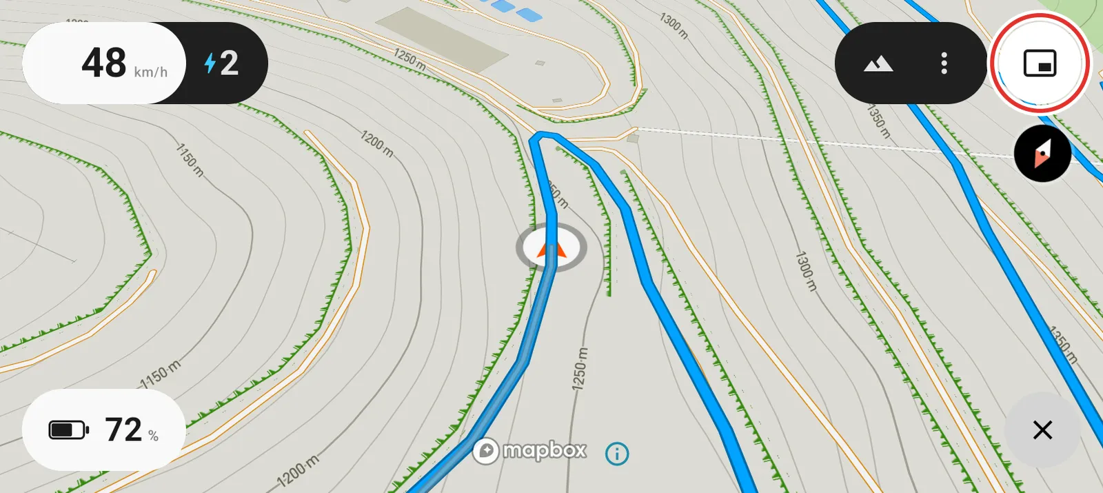
- Tap the Picture in Picture button in the top right corner. The map shrinks.
- Bring up the Stark dashboard behind it as you normally would.
Move and resize the window
- Move it: drag the window.
- Resize it: tap the window twice.
- Go back to full screen: tap the window once, then tap the map.
Follow and re-center
The map stays centred on you and turns as you turn, so the trail ahead is always at the top of the screen.
Drag the map to look ahead at a junction and it stops following. A Re-center button appears.
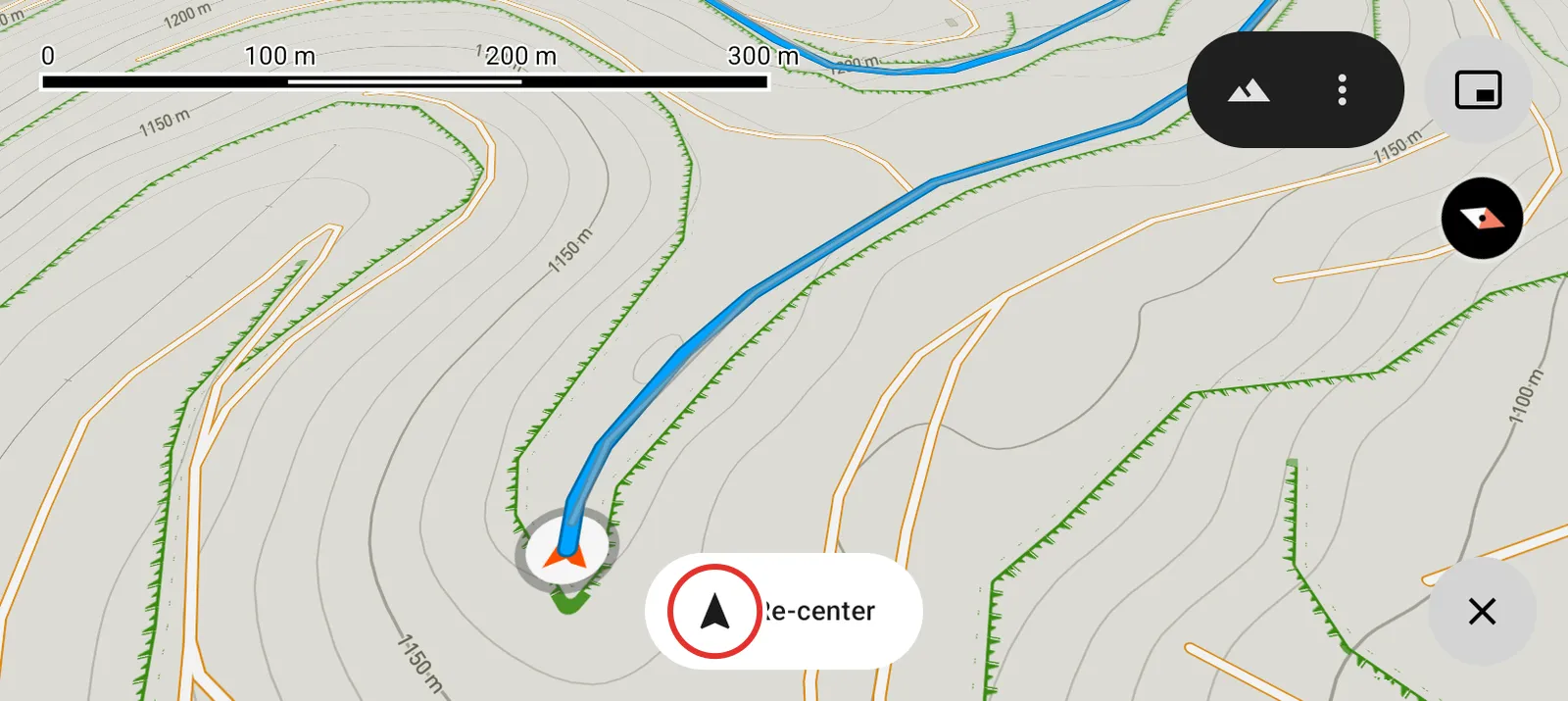
Tap Re-center to snap back to your position and carry on following. Looking around never costs you your place.
Lock the screen
A notification, an incoming call or a stray tap can pull the display away from you mid ride. Locking the map stops that.
Hold the Picture in Picture button down until the map locks to the screen. Hold it again to release.
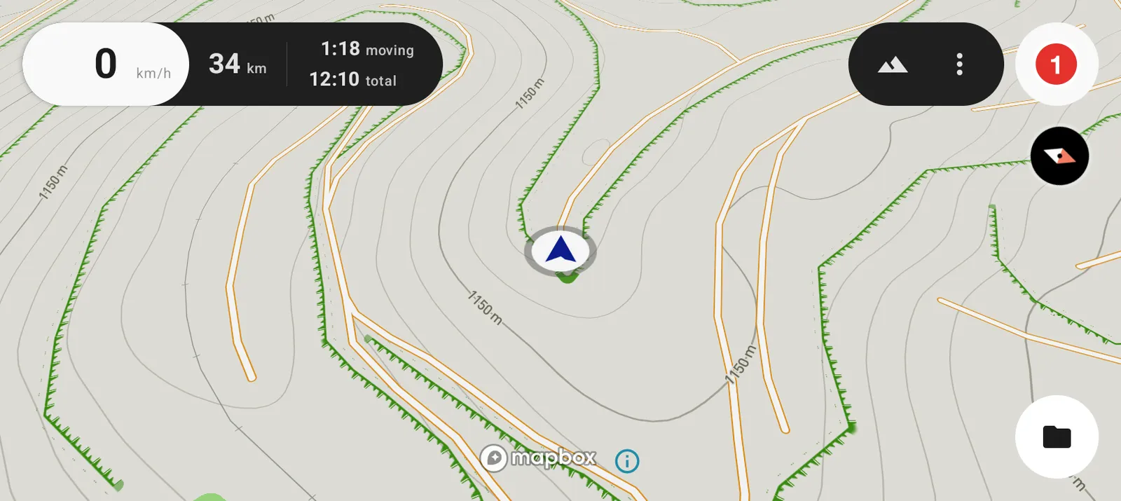
- The button turns into a padlock while the map has the screen.
Keep screen on, in Settings under Advanced then Display, stops the screen sleeping while you ride.
Change the map view
Some ground reads better as terrain, some as an aerial photo.
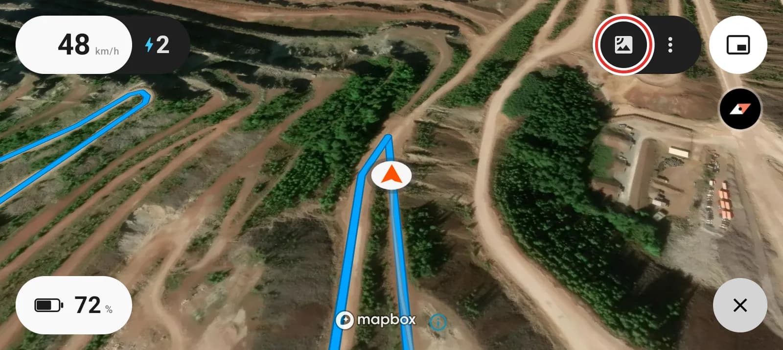
Tap the map view button to cycle between street, terrain and satellite.
Satellite is worth a look before a ride in open country. Tree lines, quarry terraces and dry river beds show up as pictures instead of as contour lines.