
Changelog
Download the map and ride where there is no signal
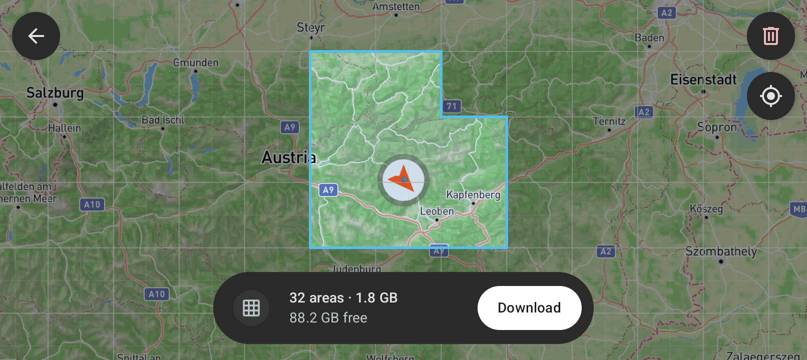
Head North can now download map areas to your phone. The map then works where there is no mobile signal. This release also adds a screen lock, blinkers that are easier to see and an estimate of the charge time.
Offline maps
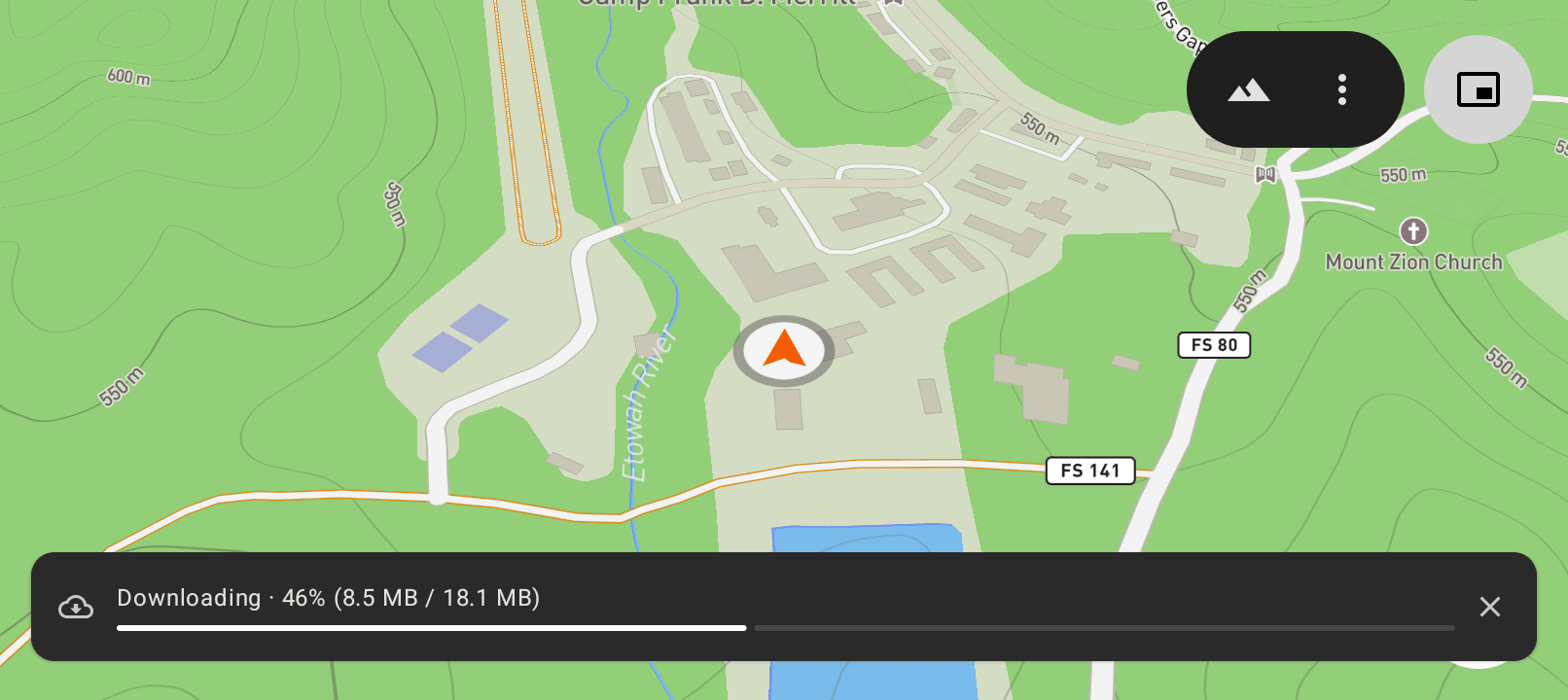
Tap the squares that you ride, then download them. The map draws from your phone and not from the network.
- Downloads wait for a Wi-Fi connection, unless you permit mobile data
- A download continues when you open the app again
- Select trail detail or aerial imagery
Read Offline maps for the full instructions.
Features
- Hold the Picture in Picture button to lock the app on the screen
- A green bar on the edge of the screen shows which blinker is on
- The app shows the time until the battery is charged to your limit, experimental (Charge estimate)
- Your bike has a card at the top of the settings (Bike data)
Fixes
- The app asks for the Bluetooth permission one time for each installation
- The digits stay in their space when the system font is large
- The charging symbol stays easy to read at all charge levels
- Other small corrections
Known issues
- The free space does not increase immediately when you delete an offline area
- The charge estimate is not exact. It rounds the time to five minutes
Head North now shows data from your Stark Varg
Head North can now connect to your Stark Varg and show data from the motorcycle on the full screen map. This release also adds ride tracking, a GPS speed display and better breadcrumb trails.
Data from the motorcycle on the map
Turn on Bike data. A data bar on the full screen map then shows:
- The speed of the motorcycle
- The ride mode
- The charge of the battery
You do not have to look at the dashboard to read the charge. The app supports the MX 1.2, the EX and the SM.
Read Bike data for the full instructions.
Features
- The map shows the distance, the moving time and the total time of each ride
- A GPS speed display shows your speed when the app cannot connect to a Stark Varg
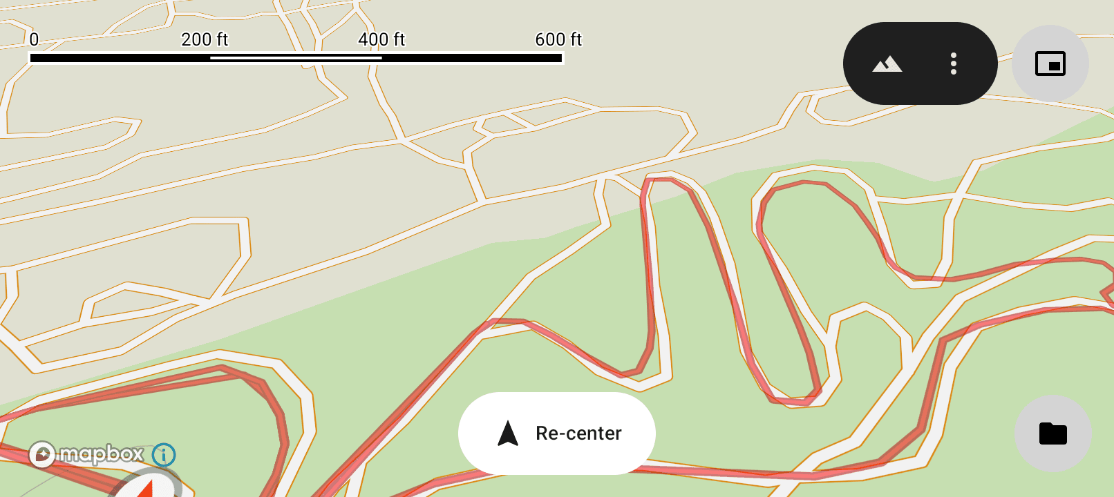
- An outline and a transparency control make the breadcrumb trail easier to see (Breadcrumbs)
- The app stays as quick at the end of a long ride as at the start
Fixes
- The breadcrumb trail and the As the crow flies line stay on the map when you change the map style
- The app vibrates when you arrive at an As the crow flies target
- The moving time cannot be more than the total ride time
- Other small corrections
Known issues
- In the Outdoor map style, the app draws the location marker below the route and the breadcrumb trail
Breadcrumb trail colours, built around your requests
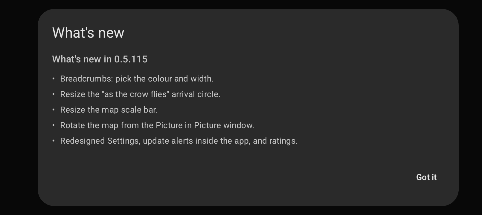
This release came straight from rider requests: colour and size your trail, size the arrival circle, resize the map scale bar, and rotate the map from the Picture in Picture window.
Breadcrumb trail colours and width
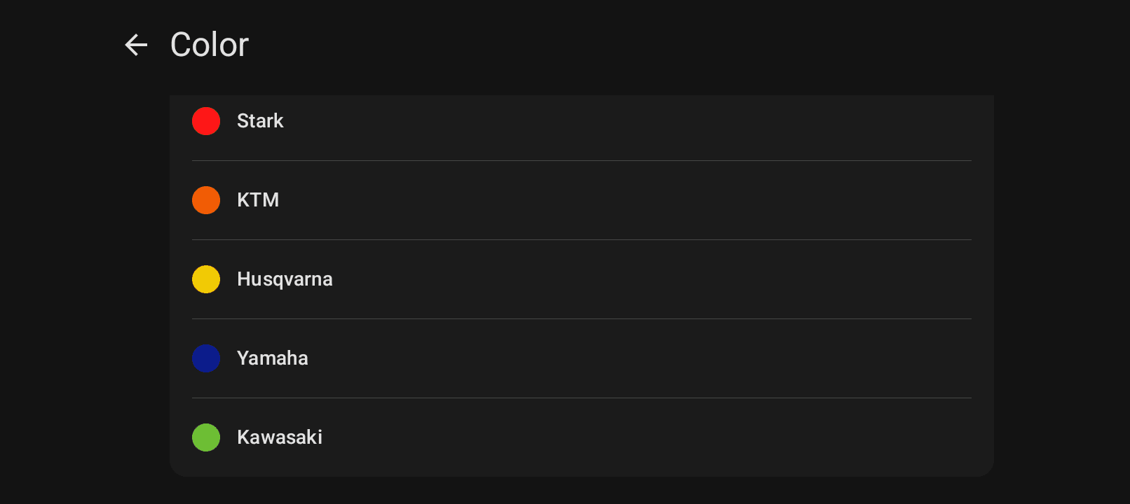
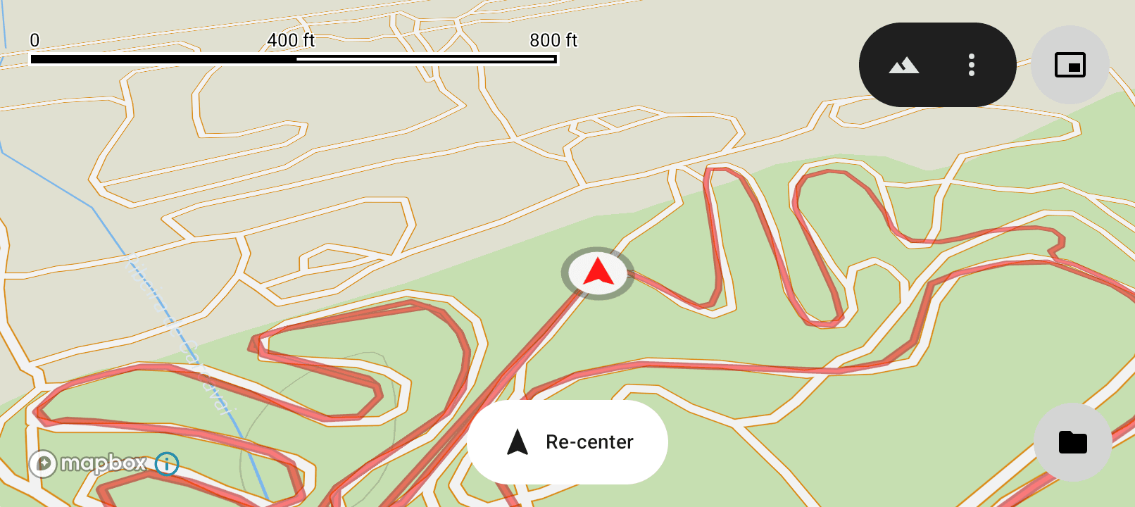
Recolour and resize your breadcrumb trail. Pick from brand-inspired presets: Stark, KTM, Husqvarna, Yamaha, and Kawasaki. Easier to spot in dust and bright sun.
Arrival circle
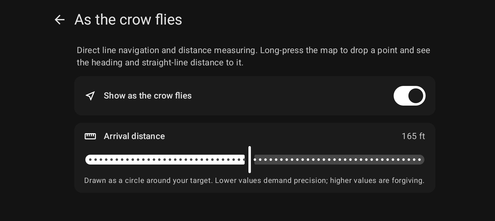
Resize the "as the crow flies" arrival circle to match what "close enough" means on a given ride.
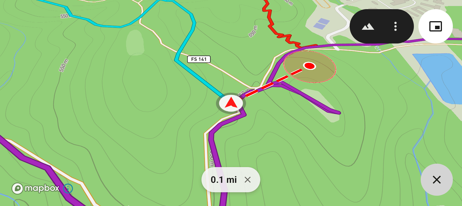
Map scale bar
Bigger and resizable. Easier to read at speed or in bright sun.
Rotate Picture-in-Picture
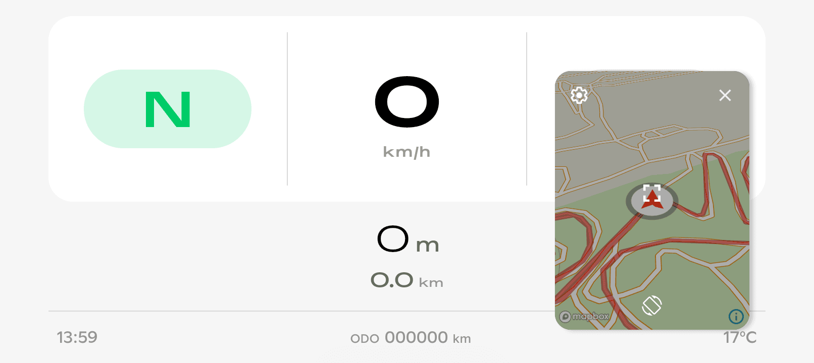
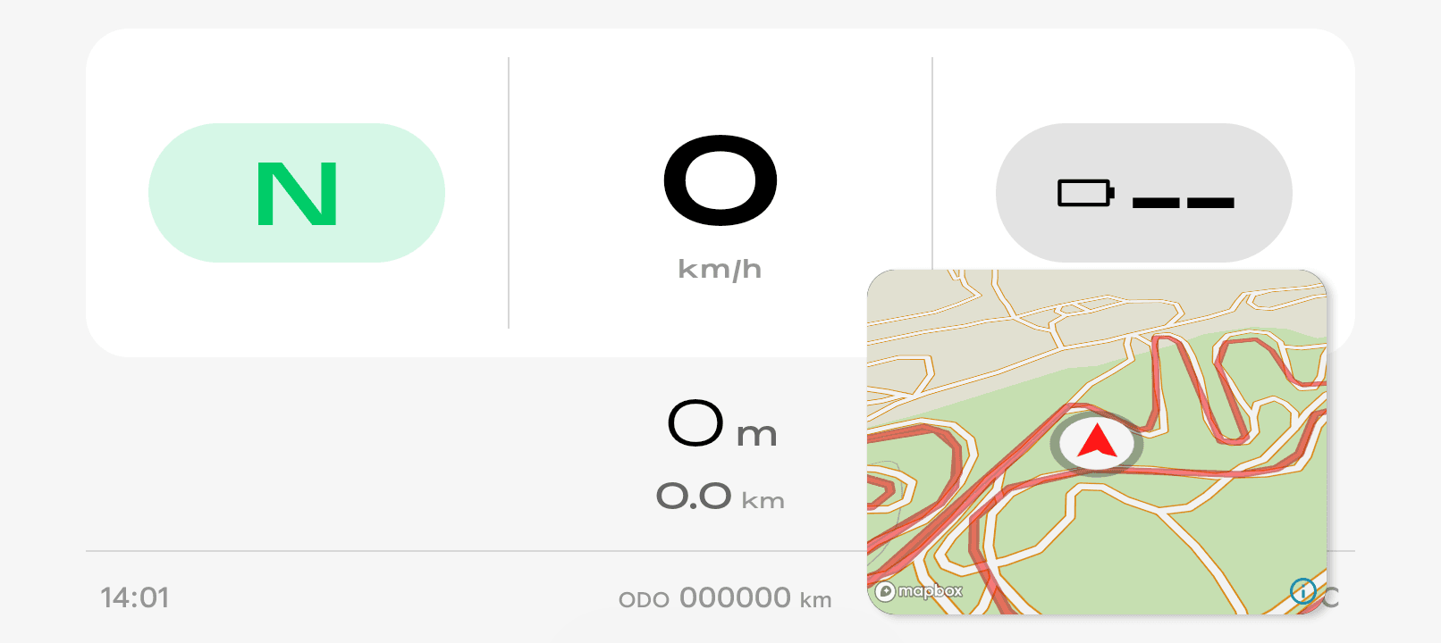
A rotate button in the PiP window flips the map between portrait and landscape. Handy when you're low on range: shrink the map and the Stark dashboard's charge stays visible underneath.
Refreshed Settings, in-app updates, and ratings
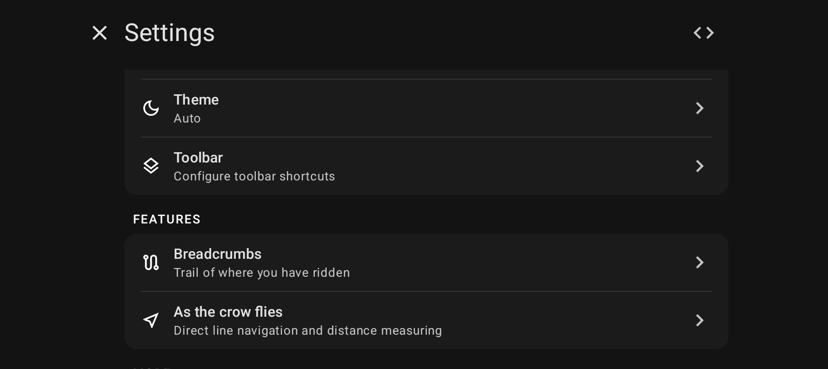
Reorganised Settings make things quicker to find. Updates download in the background, with a "What's new" sheet afterwards. You can also rate Head North from Settings → About.
Known issues
- Rotating the Picture in Picture window can flicker slightly. This is an Android quirk in PiP, not a setting you need to change.
Get Head North
GPS navigation that stays visible on your Stark VARG dashboard the whole ride. One-time purchase, no subscription.