
Why Head North exists
I bought a Stark VARG and wanted to use GPX routes while riding. That turned out to be much harder than I expected.
I tried the Stark map, Google Maps and other mapping apps. The problem was always the same: the Stark dashboard would take over, or I would have to switch between apps whenever I wanted to check the map. That is fine when you know where you are going. It gets pretty annoying when you are exploring somewhere new.
The thing that really pushed me to build something was a ride I was planning with friends. I had created several GPX tracks with different difficulty levels so we could split up during the ride and still meet at the same points. When I tried to use those routes with the Stark app, I realised that the workflow I had in mind simply didn't work.
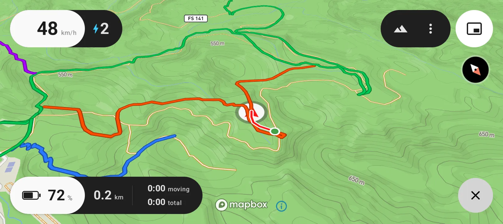
So I started looking for a workaround.
Google Maps gave me the first clue. Its Picture-in-Picture mode could stay on top of the Stark dashboard, which meant I could finally see a map without completely losing the bike display.
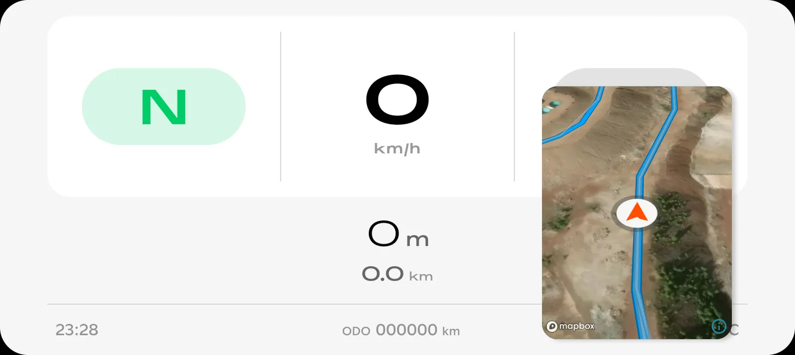
I started experimenting with that idea. Over the following months, the workaround gradually became an actual app: full-screen maps, GPX routes, bike data, breadcrumbs, offline maps and everything else needed to make the experience work properly on the bike.
That app became Head North.
A map, not another navigation system
The idea is deliberately simple.
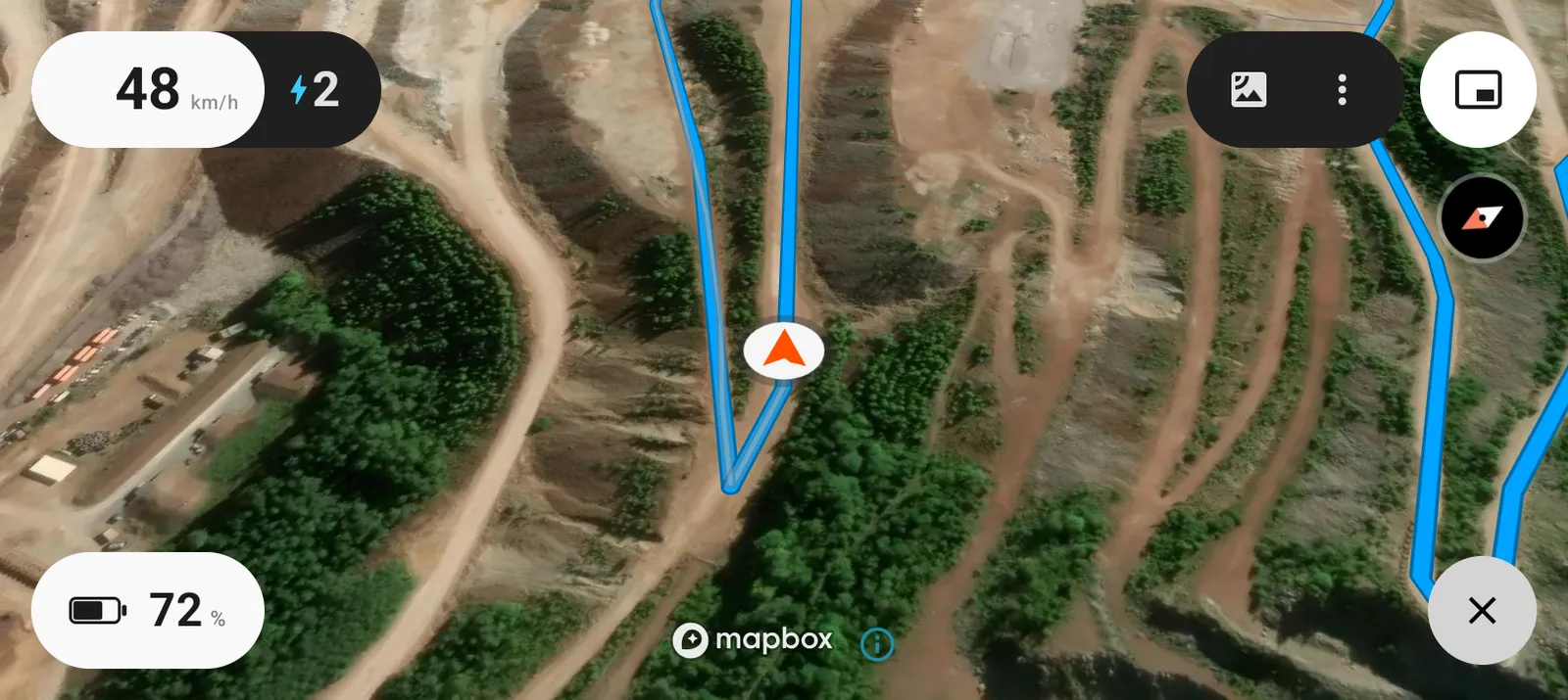
You plan your ride somewhere else. Head North puts the route on your Stark screen and keeps you oriented while you ride.
There are no turn-by-turn instructions telling you where to go. No route planning. No giant collection of navigation features.
Just your route, your position and the direction you're facing.
Built for Stark riders
Head North is focused on Stark bikes because that's where the problem started for me.
There are already plenty of powerful GPS apps. What I couldn't find was something that worked the way I wanted on the VARG: a map that could stay visible while still letting me use the bike's dashboard.
I'm also not interested in turning a simple map into another subscription service. Head North doesn't need an account or a server to do its basic job, so it's a one-time purchase instead.
Built with other riders
Head North started as something I built for myself. Other Stark riders started using it, and their feedback has shaped much of what it is today.
That is probably the best reason to trust it.
It's not a theoretical product built around a list of features. It's being used by riders who had the same problem I did.
And I'm still riding it myself.
Keep the trail visible. Keep riding.