
FeaturesAdvanced
Toolbar
Head North has three map views: Standard for roads and labels, Outdoors for terrain and hills, and Satellite for aerial imagery. The button on the map cycles through them.
If you only ever use two of them, the third is a wasted tap every time you switch.
Choose the views
Open Settings, then Toolbar.
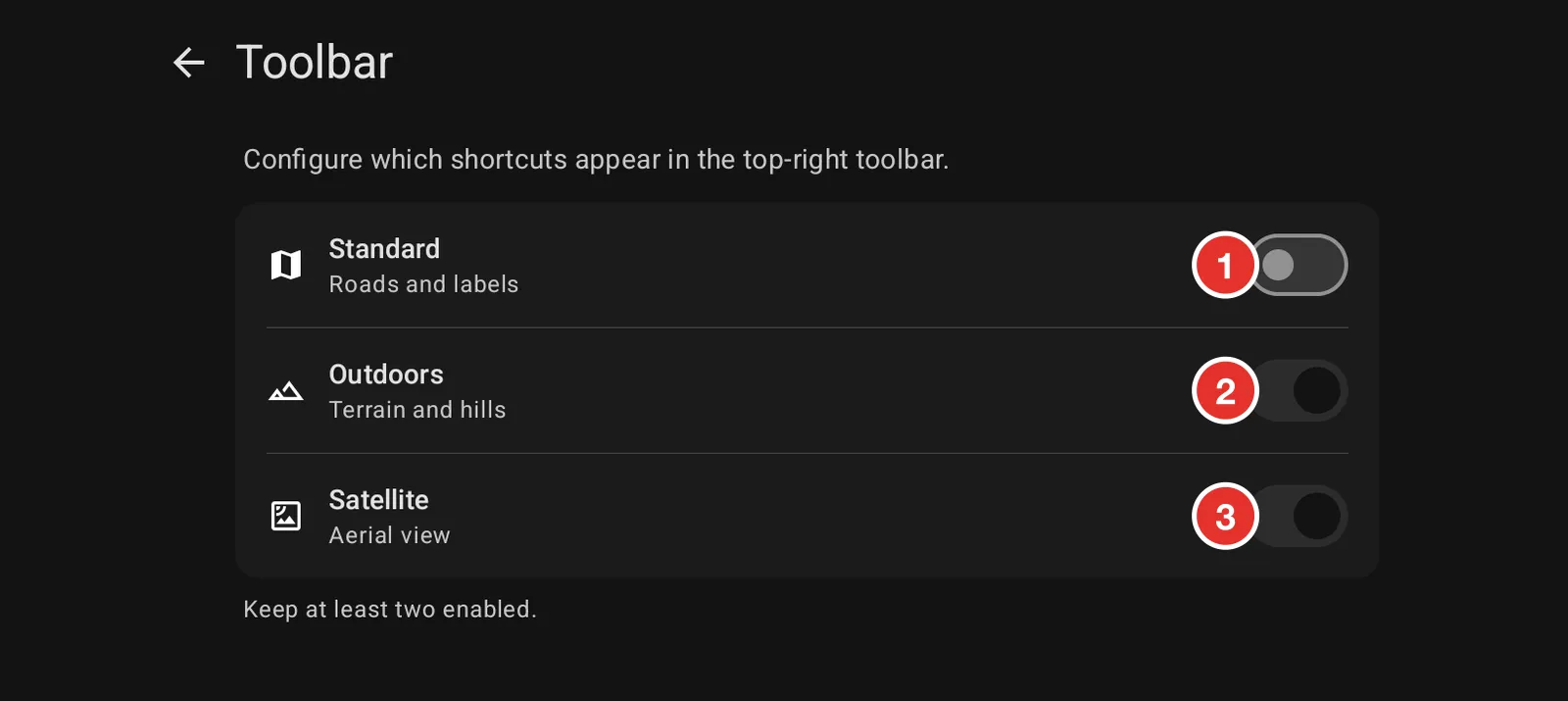
- Standard shows roads and place names. Useful for getting to the trailhead.
- Outdoors shows terrain, contours and tracks. This is the one most riders leave on.
- Satellite shows aerial imagery. Tree lines and quarry terraces read better as pictures than as contours.
Turn off the ones you do not use and the button stops cycling through them. Keep at least two, or there is nothing to switch between.